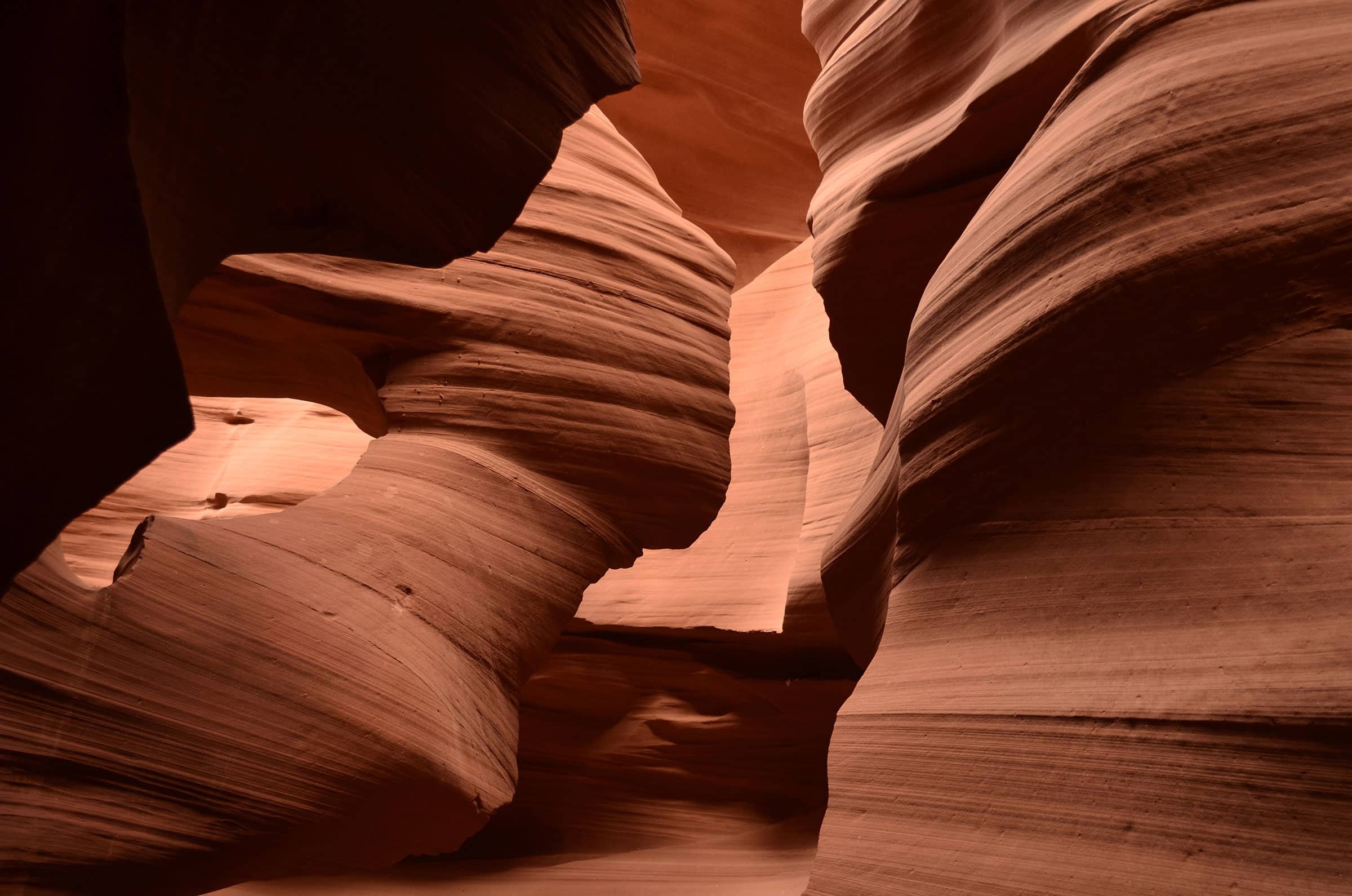
Antelope Canyon is an iconic location for landscape photography. This stunning canyon was created by the erosion of Navajo Sandstone from rainwater and flash flooding. The area was home to antelopes and elk, so it was named “Antelope Canyon” when the first settlers arrived.
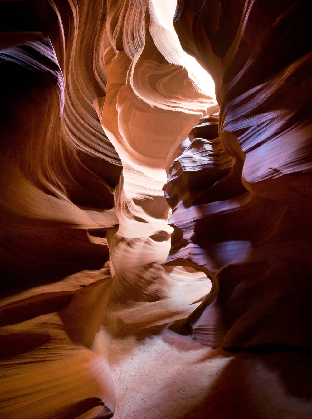
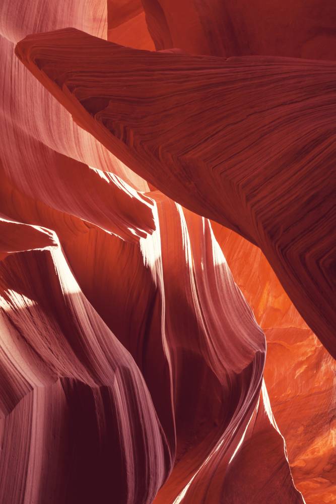
It is located just 15 minutes from Page, which is adjacent to the Navajo Nation. This nation is the largest Native American tribe in the United States. You can visit five beautiful spots. Rattle Snake Canyon (Upper Antelope Canyon), Owl Canyon, Mountain Sheep Canyon, Mountain Sheep Canyon, and Lower Antelope Canyon are all possible. Upper Antelope Canyon is known as “the place where water flows through rocks” and Lower Antelope Canyon is called “spiral rock arches”. Both names accurately describe the canyon’s undulating rocks.
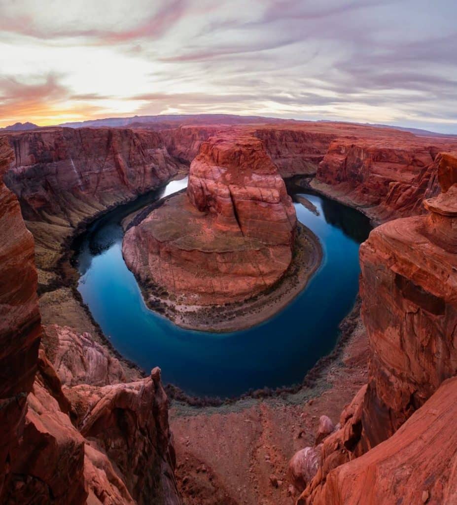
The Horseshoe Bend is located in Glen Canyon National Recreation Area, seven miles from the Antelope Canyon. This is where the Colorado River sweeps in wide, creating a roughly 355m deep, 270o horseshoe-shaped bend.